Met Office amber “be prepared” warnings are in place covering all mainland regions, with the exception of the Highlands, where yellow “be aware” warnings remain.
And the country is on flood alert with more than 60 flood warnings and 14 alerts issued, covering large parts of Scotland from Aberdeenshire, Moray and Speyside to the Scottish Borders and Dumfries and Galloway.
The number is expected to increase as the day goes on and conditions deteriorate.
Roads authorities and the coastguard are urging people in the areas that experience severe weather to avoid unnecessary travel.
A spokesman for Scottish Hydro Electric Power Distribution (SHEPD) today confirmed that a total of around 5,500 homes in Scotland were without power.
The areas affected include Shetland, the Western Isles and the west, north and north-east of Scotland.
In Aberdeenshire, around 1,700 homes are without power in areas including Fraserburgh, Kintore, Durris, Cruden Bay, and New Deer.
The spokesman said power would be restored during the day when it is safe for engineers to work.
He said the strong winds caused by Storm Frank had disrupted the network.
He added: “Our apologies for the disruption and the inconvenience caused. Our engineers are working as hard as they possibly can to restore supplies where it’s safe to do so.”
☔ Flooding @ScotTranserv ☔#A8 Newark Rbt – Closed#A76 New Cumnock – Closed#A8 Langbank#A82 Renton#A77 Girvan#A78 Largs#A737 Beith
— Traffic Scotland (@trafficscotland) December 30, 2015
Communities in the Borders were told to prepare for up to 120mm of rain and theScottish Environment Protection Agency (Sepa) currently has 18 flood warnings inplace for the region, covering areas such as Peebles and Hawick.
More than 20 warnings have been issued for Tayside, while residents in the Dumfries and Galloway, Aberdeenshire and Central areas have also been warned of flooding.
Dumfries and Galloway Council has cautioned of the risk of flooding to land and property from rivers in the area, which is expected to result in widespread disruption to travel and infrastructure.
Locations particularly at risk include the Cree valley, the Nith valley and smaller waterways around the Galloway hills. Peak water levels were expected to occur from this morning onwards.
Some residents were evacuated last night from low-lying properties in Newton Stewart, Dumfries and Galloway, in a pre-emptive operation ahead of expected flooding from the River Cree.
The council has also cautioned that flooding at the Whitesands area of Dumfries is predicted to exceed levels of flooding seen in the area in 2009, 2013 and 1982.
Many roads have fallen victim to the floods.
The M74 was closed at junction 13, Abingdon as flooding blocked the main carriageway.
First call for today, 1 patient water immersion. M74 #StormFrank pic.twitter.com/W47iha9PIJ
— Chris W (@Chrisstitis) December 30, 2015
#M74 #Abington #Junc13 Windy says words fail me . . . . . . PS – Remember vehicles don't float ??????? pic.twitter.com/5CXaLaFIWv
— Windy Wilson (@WindyWilson88) December 30, 2015
In Aberdeenshire, the A93 Ballater to Braemar road has been closed.
The village of Ballater itself has been badly hit by flooding, with fire crews evacuating residents since early this morning.
Deebank junction with Dee Street #Ballater flooded. #StormFrank #Scotland pic.twitter.com/YnySWLHA2x
— Nick the Nanny (@nannynick) December 30, 2015
A93 Ballater high street #Flood #StormFrank pic.twitter.com/gzZHj9ZfoH
— Nick the Nanny (@nannynick) December 30, 2015
https://twitter.com/EEJackCalvert/status/682144786552197120
Meanwhile, road teams from BEAR Scotland were monitoring north-east and north-west trunk roads for any issues caused by the storm, warning of a landslip at the A835 at Garve in the Highlands.
A BEAR Scotland spokeswoman said earlier: “It’s been a wet and windy night and our teams have been patrolling the north-east and north-west trunk roads in Scotland dealing with any issues brought in by Storm Frank.
“Teams are currently en route to investigate a reported landslip estimated at around 50 tonnes on the A835 at Garve, and Police Scotland have advised that the road is closed in both directions for safety until the site can be assessed in daylight.
“In the north east some localised flooding is reported on the A9 at Keir Roundabout and our teams are en route to investigate further.
“During the night a fallen tree temporarily blocked the A83 north of Lochair, however this was cleared by our landscaping team.
“A few minor issues occurred overnight in both the north-west and north-east networks, with a number of trees and debris as well as instances of flooding affecting some routes but were quickly dealt with and cleared by our operatives.”
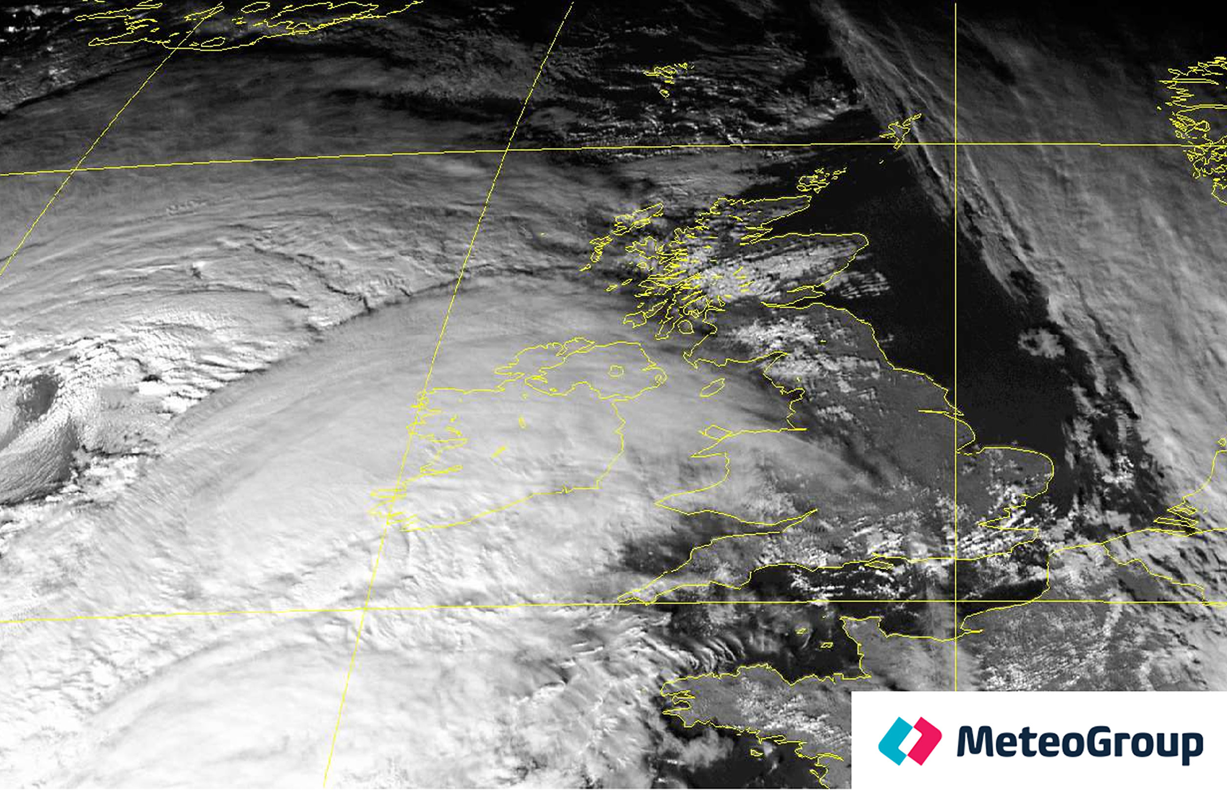
Satellite animation showing #StormFrank. Stay #WeatherAware with the latest warning info at https://t.co/ziqeF8z3D4https://t.co/eYnEtIPcLP
— Met Office (@metoffice) December 30, 2015
Richard Brown, the head of hydrology at Sepa, told BBC Radio Scotland’s GoodMorning Scotland programme: “The situation is still very much deteriorating.Although we have the 62 flood warnings in effect, we expect a big increase inthat number as the morning goes by. Some of the smaller water courses have shownsigns of peaking but the rain is going to continue and larger rivers arecontinuing to rise.”
Scottish Transport Minister Derek Mackay told the show: “We expected challenging conditions and that’s turning out to be the case. One of the ongoing issues will be the flood risk because the persistent rain will calm down later on in the day but we’re still dealing with the risk of flooding to the transport system and indeed people’s homes and businesses.
“Ministers met last night and will meet again today. We help coordinate and share information and ensure that all our agencies and partner organisations are connected and doing everything we can to both be resilient and keep the country moving.”
He urged anyone travelling today to check weather information, plan their routes and drive to the conditions.
Watch the moment Yorkshire bridge collapses after deluge:
https://www.youtube.com/watch?v=DrQOQznFdKM

Enjoy the convenience of having The Sunday Post delivered as a digital ePaper straight to your smartphone, tablet or computer.
Subscribe for only £5.49 a month and enjoy all the benefits of the printed paper as a digital replica.
Subscribe