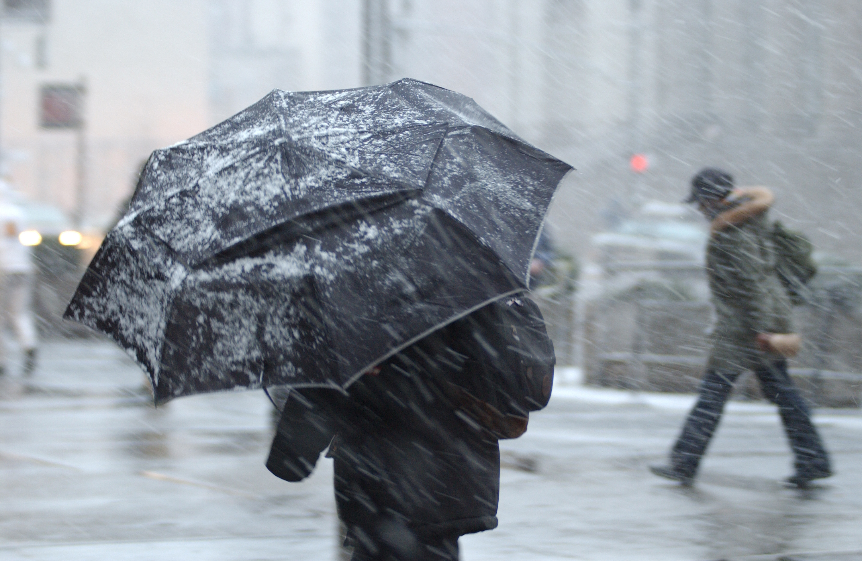
STORM CAROLINE is set to bring gales to parts of northern and western Scotland on Thursday morning.
A Met Office Yellow National Severe Weather Warning for wind has been issued for Storm Caroline, with wind gusts of 60-70mph expected widely across the warning area and up to 80mph in the more exposed north-facing coastal locations.
The warning is in place from 8am on Thursday until midnight and includes most of the Western Isles, the Northern Isles and the majority of mainland Scotland from Oban to Aberdeen.
#StormCaroline has been officially named by the Met Office. High winds are expected to affect northern Scotland on Thursday. Warnings issued, stay #weatheraware pic.twitter.com/J7nZOEFhYr
— Met Office (@metoffice) December 5, 2017
Met Office Chief Meteorologist Steve Ramsdale said: “The strongest winds will reach the northwest of Scotland early on Thursday, extending to Northeast Scotland and the Northern Isles in the afternoon. During Thursday winds will start to ease in the west with the strongest of the winds becoming confined to the Northern Isles in the evening.”
The strong winds may affect Scotland’s road, rail, air and ferry services, and longer journey times and cancellation of services are possible.
As with any period of strong winds, there may be some short-term loss of power and effects on other services.
In addition, it is likely that some coastal routes, sea fronts and coastal communities will be affected by spray and/or large waves.
As Storm Caroline moves away from the UK later on Thursday and through Friday it will allow winds from the northwest to spread across the UK bringing much colder air. Steve Ramsdale added: “With the return of air from a northwesterly direction – with its origins in the Arctic – snow showers will become increasingly frequent and heavy across northern Scotland during Thursday evening.”
Strathclyde, Grampain, The Lothians, SW Borders, the Highlands and Islands Central, Tayside, Fife, Orkney and Shetland all have Yellow warnings for snow in place from Friday morning.
Steve Ramsdale added: “Our warning shows that 2-5 cm of snow is likely for some, with 10-20 cm possible over high ground, mainly Scotland, Northern Ireland and Wales.
“Icy surfaces are also likely to be an additional hazard, especially overnight and during the morning.
“Strong northwest winds may cause drifting of the snow in places with blizzard conditions possible at times across northern Scotland.
“The heaviest and most frequent of the snow showers will progressively become confined to northeast Scotland during Saturday.”
Scotland Transport Minister Humza Yousaf said: “Our trunk road operating companies will be out patrolling and gritting as required.
With wintry weather, we would urge road users to check all of the available information before they travel. Our gritter tracker is back online so that people can see where our gritters have been out in their areas and our new Traffic Scotland mobile site gives them up to date information on any incidents on the network.”

Enjoy the convenience of having The Sunday Post delivered as a digital ePaper straight to your smartphone, tablet or computer.
Subscribe for only £5.49 a month and enjoy all the benefits of the printed paper as a digital replica.
Subscribe